
LAMBERT LAND CONSULTING LLC
Professional Land Surveying and Mapping Services
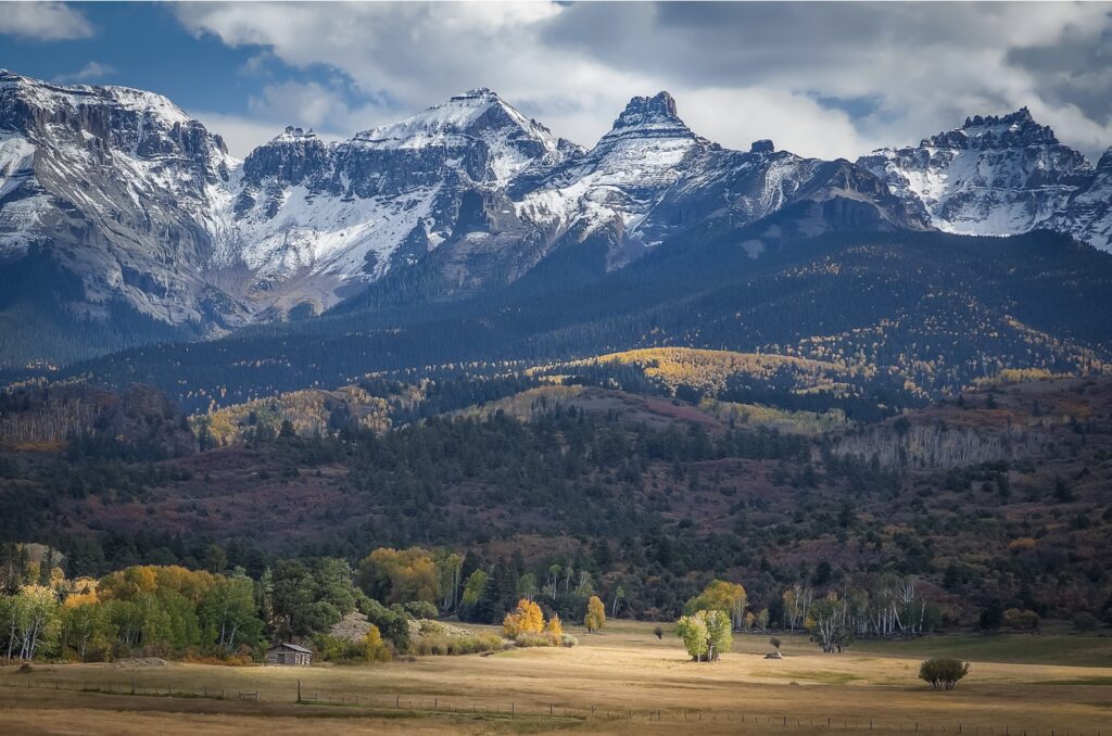
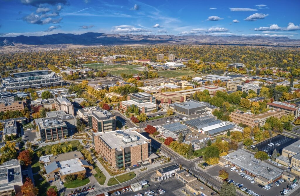
Delivering Exceptional Service to Northern Colorado and the Front Range Since 2007


24 YEARS OF
PROFESSIONAL
EXPERIENCE
We bring over 24 years of professional experience serving clients in both the public and private sector.
Topographic and Boundary Surveys
We provide topographic surveys which meet or exceed your project specifications for all of your civil design and planning needs. Boundary surveying services including subdivision platting, improvement location surveys, and land divisions.
ALTA/NSPS Land Title Surveys
Our ALTA/NSPS Land Title Survey meets industry standards to provide a detailed analysis of property boundaries, easements, and encroachments.

Improvement Location Certificates
Our Improvement Location Certificates (ILC) offer an accurate overview of your property, highlighting the location of structures relative to boundaries. Ideal for real estate transactions and lending.

Easements and Right-of-Way
We pride ourselves on creating professional easement and right-of-way descriptions and exhibits that clearly define the limits of rights in a concise and accurate manner.